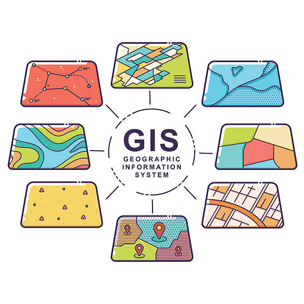
GIS Application Development
Advanced mapping and spatial data solutions to analyze, visualize, and manage geographical information.
Esuor specializes in GIS App Development, offering customized solutions managed and developed by a highly skilled team of specialists and developers. As one of the best GIS App Development service providers, Esuor delivers high-quality results at competitive prices.
Esuor helps businesses implement enterprise GIS solutions, ensuring up-to-date data, geo-spatial analysis, and accurate modeling throughout the GIS Application Development lifecycle. From establishing requirements to specifying and designing the application, implementation, and ongoing maintenance, Esuor provides comprehensive support.
Esuor provides end-to-end custom applications tailored to specific needs and requirements, regardless of complexity. Their workflow includes requirements analysis, design, coding, and deployment, ensuring a thorough understanding of customer requirements to deliver the desired functionalities. Esuor's services encompass Map Customization, Custom Tool Development, Integration Application Migration, Web GIS, and Mobile GIS apps development, among others, providing a complete solutions suite for GIS needs.
GIS Application Development Services
Custom Geospatial Databases
Design, develop, and maintain scalable geospatial databases.
Software Development
Develop GIS software and integrate with enterprise systems.
Mobile GIS Applications
Custom mobile GIS apps tailored to business workflows.
Spatial Information Systems
Industry-specific spatial information system development.
Enterprise GIS Solutions
Enterprise-grade GIS platforms for analysis and management.
Web GIS Development
Custom web GIS using ArcGIS, MapServer and open-source tools.
GIS Integration
Integration with spatial databases and enterprise platforms.
Location-Based Services
LBS solutions to enhance user experience and insights.
Data Management
Geodatabase development, migration, and lifecycle management.